Bullsbrook Rezoned: WA Planning Commission Greenlights Major Urban Expansion
What happened
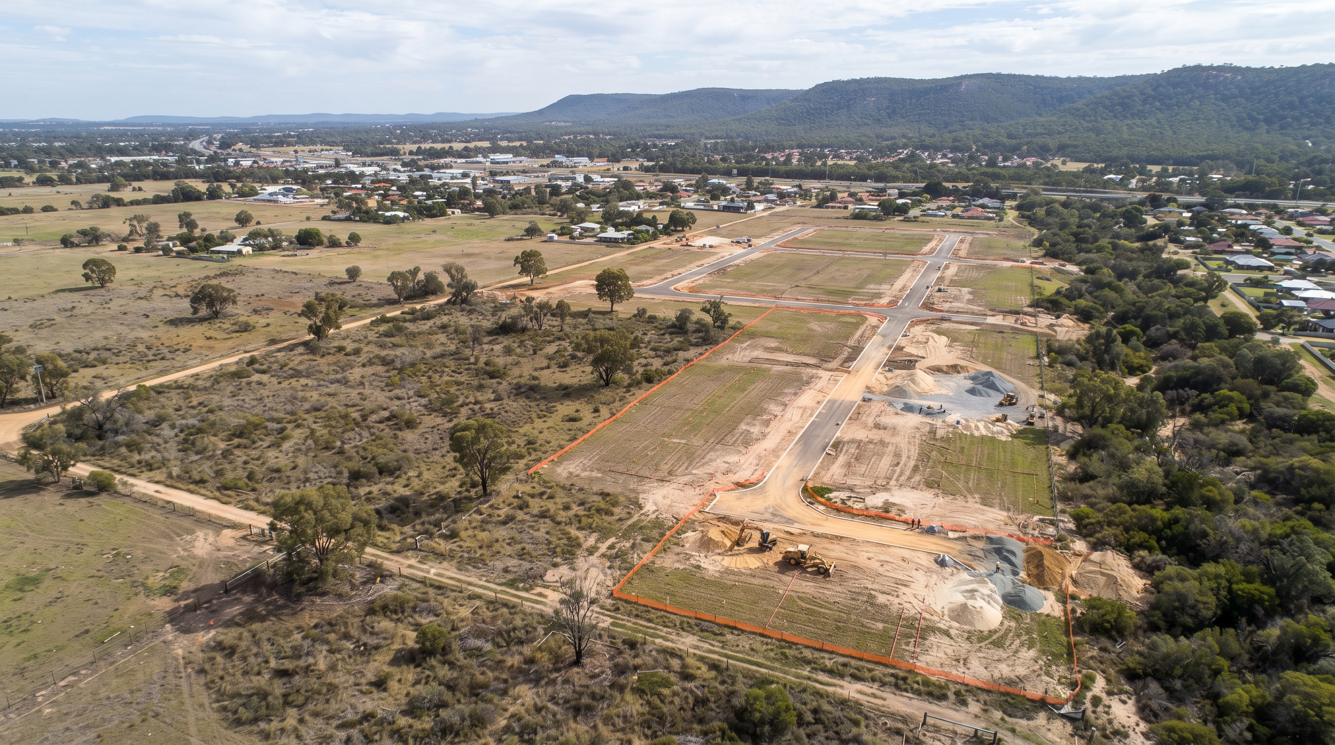
The Western Australian Planning Commission has approved major amendments to the Metropolitan Region Scheme, rezoning nearly 900 hectares of land in Bullsbrook. These changes, detailed in two key Gazette notices, effective from August 19, 2026, will see large swathes of land transition from rural use to urban deferred and regional open space. Specifically, Metropolitan Region Scheme Amendment 1411 rezones approximately 492.71 hectares from Rural to Urban Deferred and Regional Open Space, as outlined in the Gazette notice. Concurrently, Amendment 1409/41 transfers approximately 381.60 hectares from the Rural zone to Urban Deferred and Regional Open Space reservations, as detailed in this Gazette notice.
What this means for you
Developers eyeing growth in Perth's northern corridor will see new opportunities emerge. Landholders in Bullsbrook and surrounding areas will need to understand how their property's future use and development potential are impacted by these shifts. Planning professionals must update their strategies to reflect the new zoning designations, particularly the creation of urban deferred and regional open space areas. The Salaries and Allowances Tribunal has also issued variations to determinations for public service offices, indicating broader governmental adjustments.
What this means for WA
This rezoning represents a significant step in the state's long-term urban expansion strategy, particularly for the Perth metropolitan region. It signals a government commitment to facilitating future urban development while also preserving significant regional open spaces. This aligns with broader trends seen in other local government areas, such as the Hazelmere Industrial Hub rezoning approved by the City of Swan. The Department of Planning, Lands and Heritage has also been involved in various planning amendments and appointments.
Want to follow this thread yourself? Search GovScanner's free dashboard, or connect GovScanner to your favourite AI so your model can explore WA government data for you.
The numbers
Over 870 hectares of land in Bullsbrook are affected by these amendments. These significant land parcels demonstrate a clear intention for future development and conservation. The Western Australian Planning Commission oversees such large-scale changes, impacting numerous stakeholders.
Find your own data
Want to explore this thread yourself? Search the free GovScanner dashboard, or connect GovScanner directly to your favourite AI so your model can investigate WA government data for you. It is quick to connect, and it gives your AI raw access to structured WA government records instead of making it hunt through PDFs and webpages from scratch.